Indian Railways is making headlines for a reason other than railway fare hikes. This sounds strange but Indian railways is putting efforts to improve its image and become technologically more advanced. ISRO and Indian Railways have teamed up for developing a better security system for tracking the railway tracks.
[highlight ]ISRO will support Indian railways in obtaining live satellite images which will in turn provide enhanced security for passengers and an upgraded navigational system to keep track of railway network all around the nation.[/highlight]
This is going to be a towering project for Indian Railways and one of Railway Ministry official gave an overview of the project saying:
“We will undertake a massive exercise of GIS mapping of the entire rail route and assets including buildings, land, workshops and other facilities in the network using geospatial technology.”
Technology that will be exploited is Geospatial technology which involves:
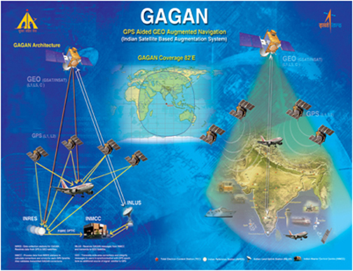
Deeply advanced GAGAN, GPS aided geo-augmented navigation system of ISRO will assist Railways in availing Geospatial technology and provide satellite-assisted navigational support.

Currently all the tracking work is carried out manually which limits the tracking capability to a certain region, here technology will come into play in providing safety solutions at unmanned level crossings using GPS technology and remote sensing.
[highlight ]GIS (Geographical Information Systems) and GPS (Global Positioning Systems) will be of a great help during accidents in determining accurate position and topography of the region which will come in handy in decreasing the response time and many lives would be saved.[/highlight]
Introduction of new technology will also help Railways in implementing paperless ticketing system as Geo-Fencing of stations can be done using satellite images. [highlight ]Geo Fencing is used to define the geographical boundaries of a particular region and it is very crucial for proper execution of paperless ticketing system.[/highlight]
Space technology can aid current railway system in many ways and Mr. A. S. Kiran Kumar, an exceptional scientist at ISRO and functioning Chairman of ISRO quoted:
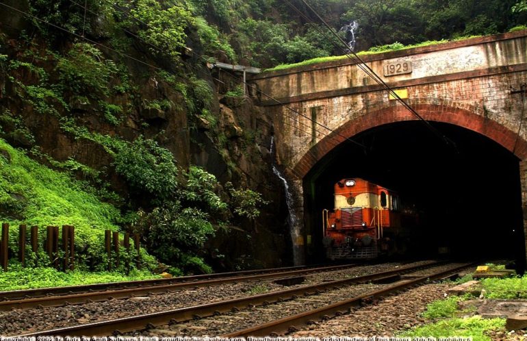
“There is specific information provided for aligning the railway tracks, particularly in mountainous regions, and also identifying tracks which are most stable when you are going through tunnels. In all these things, space technology is useful.”


